Climate
Satellite images reveal extensive flooding across Guangxi, China after Typhoon Maysak
Synthesized from1 source
AI-generated summary
Satellite images reveal extensive flooding across Guangxi, China after Typhoon Maysak
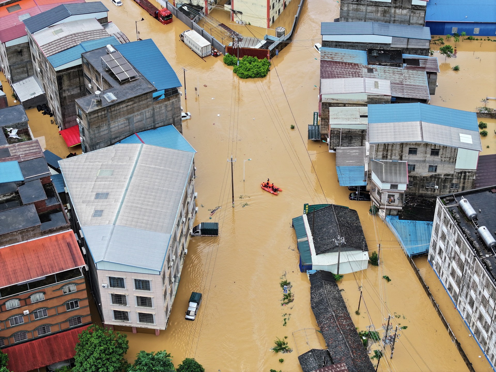
Satellite imagery shows floodwaters and sediment covering villages, farmland, and industrial sites in southern China's Guangxi region following extreme rainfall.
- Satellite images from Sentinel-1 and Sentinel-2 captured widespread inundation and mud deposits on riverbanks, lowlands, and residential areas near Guigang and Hengzhou between June 28 and July 12, 2026.
- The imagery shows floodwaters and sediment surrounding a wood-processing industrial complex southwest of Guigang, with water pooling around warehouses and access roads.
- The Guangxi Emergency Management Department, cited by the Chinese Ministry of Emergency Management, reported that Pingyang and Hengzhou experienced extreme continuous rainfall under Typhoon Maysak, causing emergencies in several towns.
Coverage
1 outlet — read the original reporting
Every story is brought together from multiple sources into a single, clear summary — with every perspective kept, not flattened.